Trailmap
Offline-first hiking maps with trail conditions from the community.
- Client
- Side project
- Role
- Solo developer
- Year
- 2024
- Duration
- Ongoing
Results
- Regions offline
- 40
- Monthly hikers
- 18k
- Reports a week
- 1.2k
The challenge
Hikers lose signal exactly where they need a map, and trail conditions change faster than any guidebook.
The approach
Trailmap stores regions for offline use and syncs condition reports when a connection returns. Two hikers who report the same washed-out bridge get one merged report, not two.
What I built
- Map regions stored offline, with a meter for the space they take.
- Condition reports that merge without conflicts.
- An installable app with background sync.
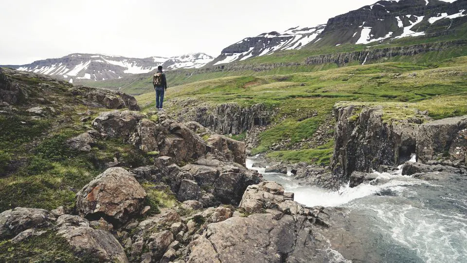
I used Trailmap on a three-day crossing with no signal at all. The bridge report from the morning before saved us a two-hour detour.